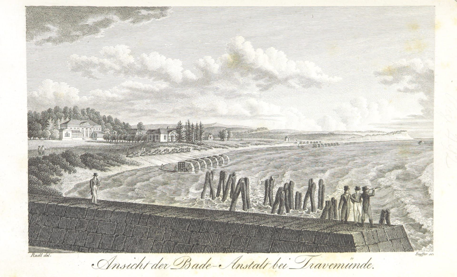
Prussian land survey 1878 ↔ aerial image today
Travemünde then and now
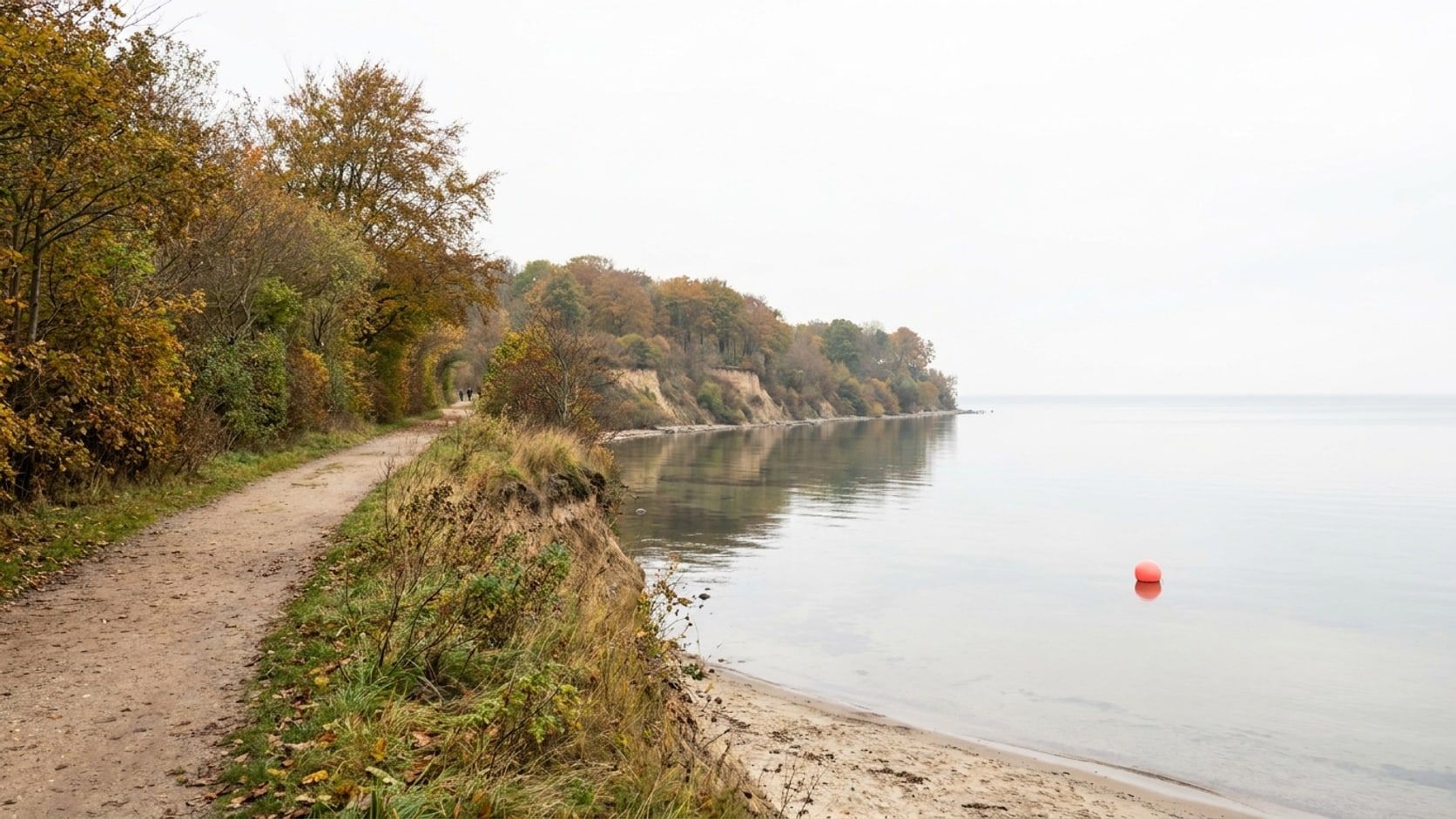
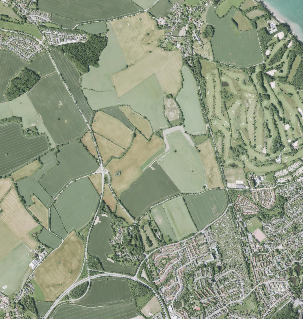
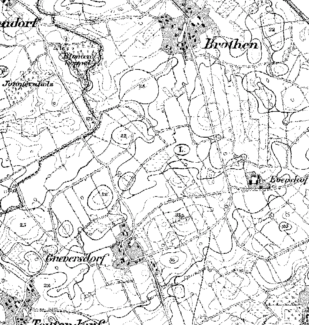
Three views, one handle: the official sheets of the Prussian land survey of 1878–1880 lie here in register over today's official aerial image. At the Brodten cliff this makes visible what is otherwise just a number: at 50 to 100 centimetres of retreat per year, the 1878 shoreline now lies a calculated 74 to 148 metres out – in the water.
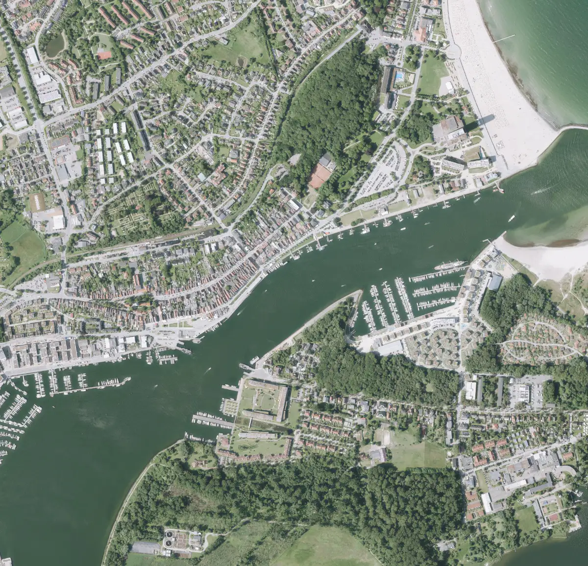
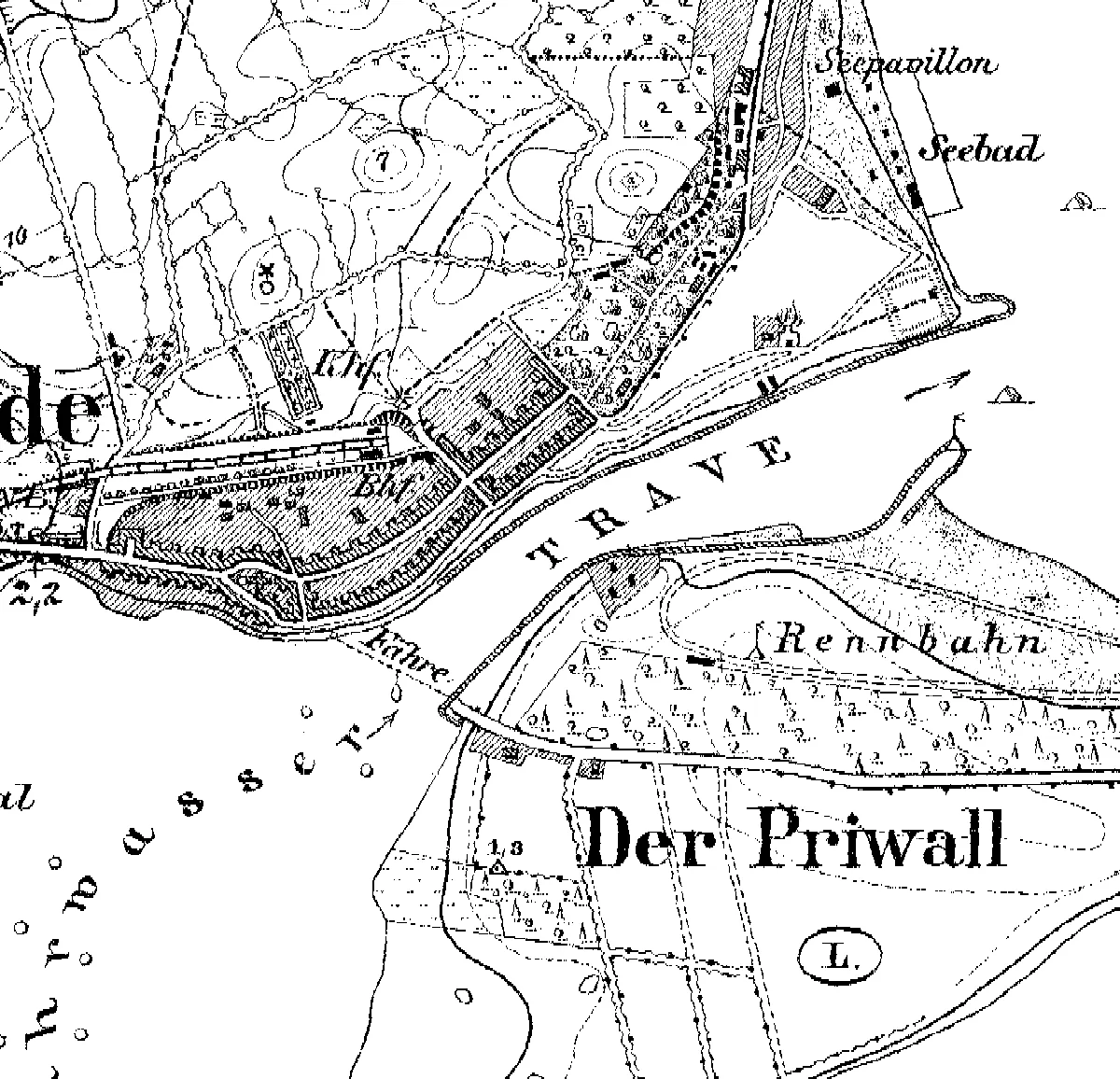
Town centre and Priwall: the seaside resort of 1878
The 1878 sheet already shows the ferry at the Vorderreihe – exactly where the Priwall ferry departs to this day – plus a “Seebad” and “Seepavillon” on the beach and a “Rennbahn” (racecourse) on the Priwall. The comparison with the aerial image shows how the resort grew around promenade and spa quarter, while the street grid of the Vorderreihe has stayed the same for almost 150 years.
Brodten cliff: the 1878 coast now lies in the water
The Brodten cliff retreats 50 to 100 centimetres a year. Since the 1878 survey that adds up to a calculated 74 to 148 metres: the shoreline drawn on the old sheet now lies far out in the Bay of Lübeck. The slider makes this coast's strongest force visible – the abrasion that moves the cliff inland year after year, feeding the beaches of the neighbouring resorts with sand.
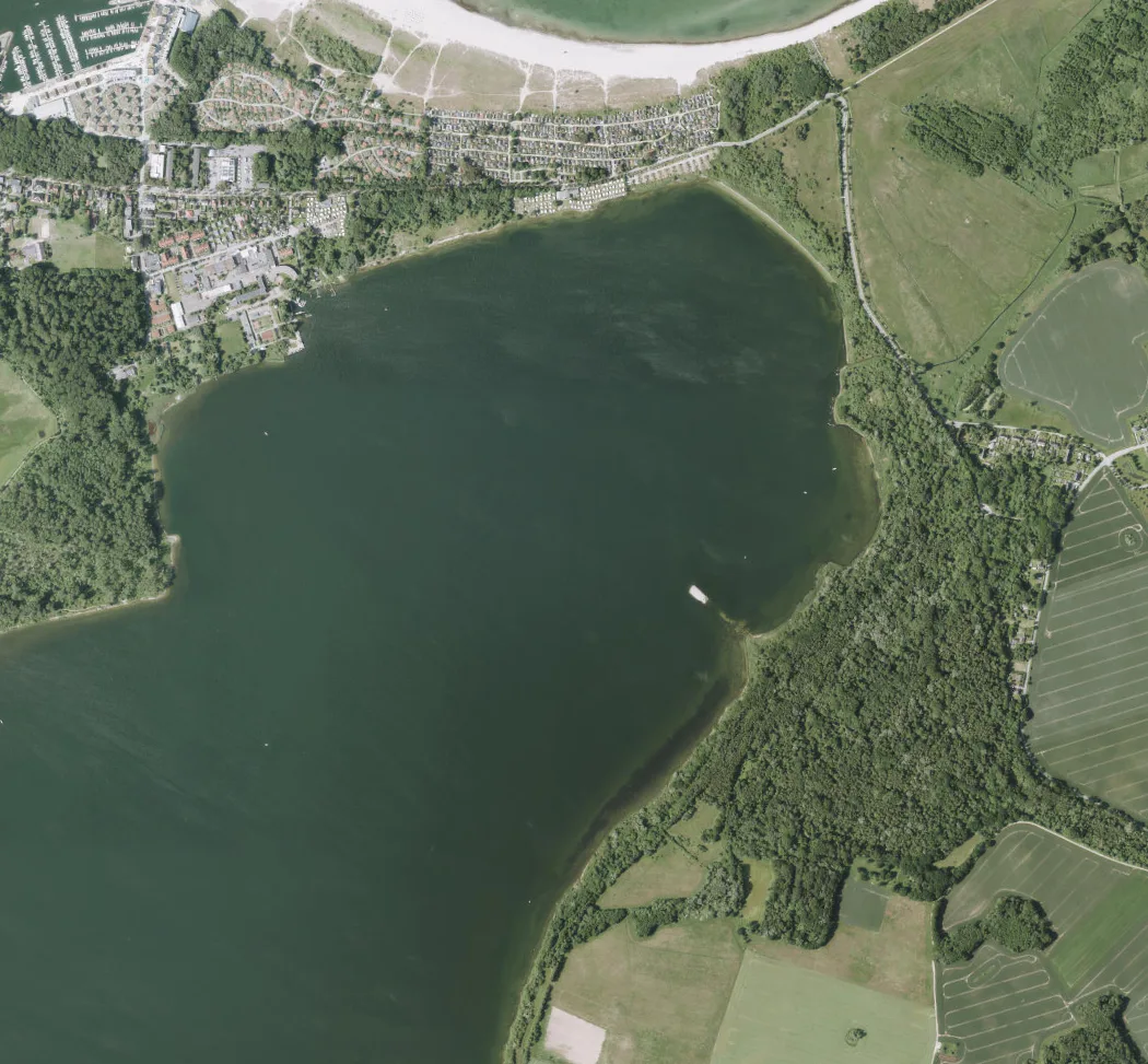
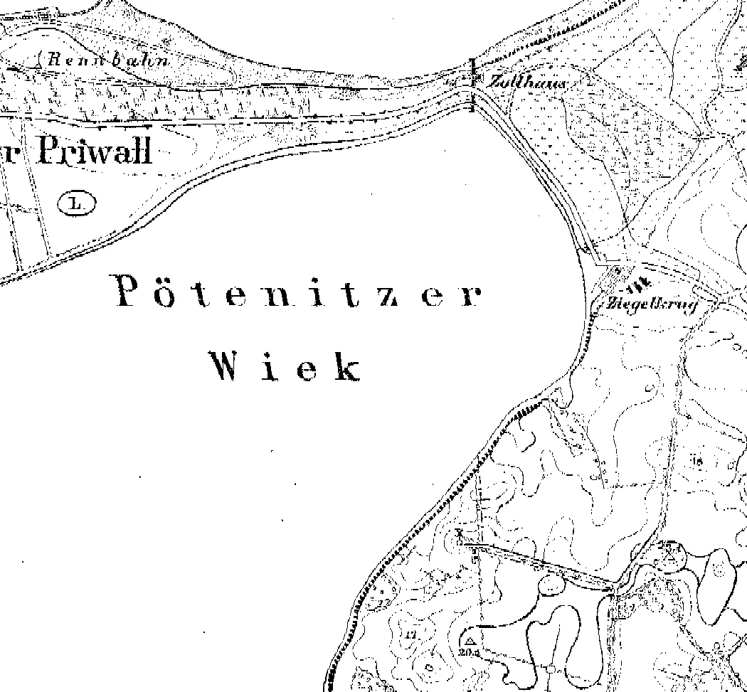
Pötenitz Wiek: where the border later ran
On the 1878 sheet the Pötenitz Wiek is simply a quiet bay between the Priwall and the Mecklenburg shore. Only the 20th century wrote history here: from 1945 to 1990 the inner-German border ran along the Priwall’s eastern tip – the beach ended at the fence. Today the tip is a nature reserve, and the Wiek again belongs to sailors and sea eagles.
Frequently asked questions about the historical maps
What did Travemünde look like around 1880?
The Prussian land survey of 1878–1880 shows a compact seaside resort: the Vorderreihe with the ferry to the Priwall, sea baths and a sea pavilion on the beach, a racecourse on the otherwise almost empty Priwall – and much open land where promenade and spa quarter stand today. The slider on this page lays the sheet directly over today’s aerial image.
How much land has the Brodten cliff lost since 1878?
At the documented 50 to 100 centimetres of retreat per year, the survey of 1878 gives a calculated 74 to 148 metres. It is a calculated range from the long-term retreat rate, not a single measurement – the map comparison makes the scale visible.
Where do the old maps come from and may they be used?
The sheets come from the Prussian land survey (Chronologen map series 1878–1950) of Schleswig-Holstein’s state survey office and are licensed CC BY 4.0 – free to use with attribution. The present-day comparison image is the official DOP20 orthophoto from the open geodata.