Ferries · cruise calls · live map
Ship spotting
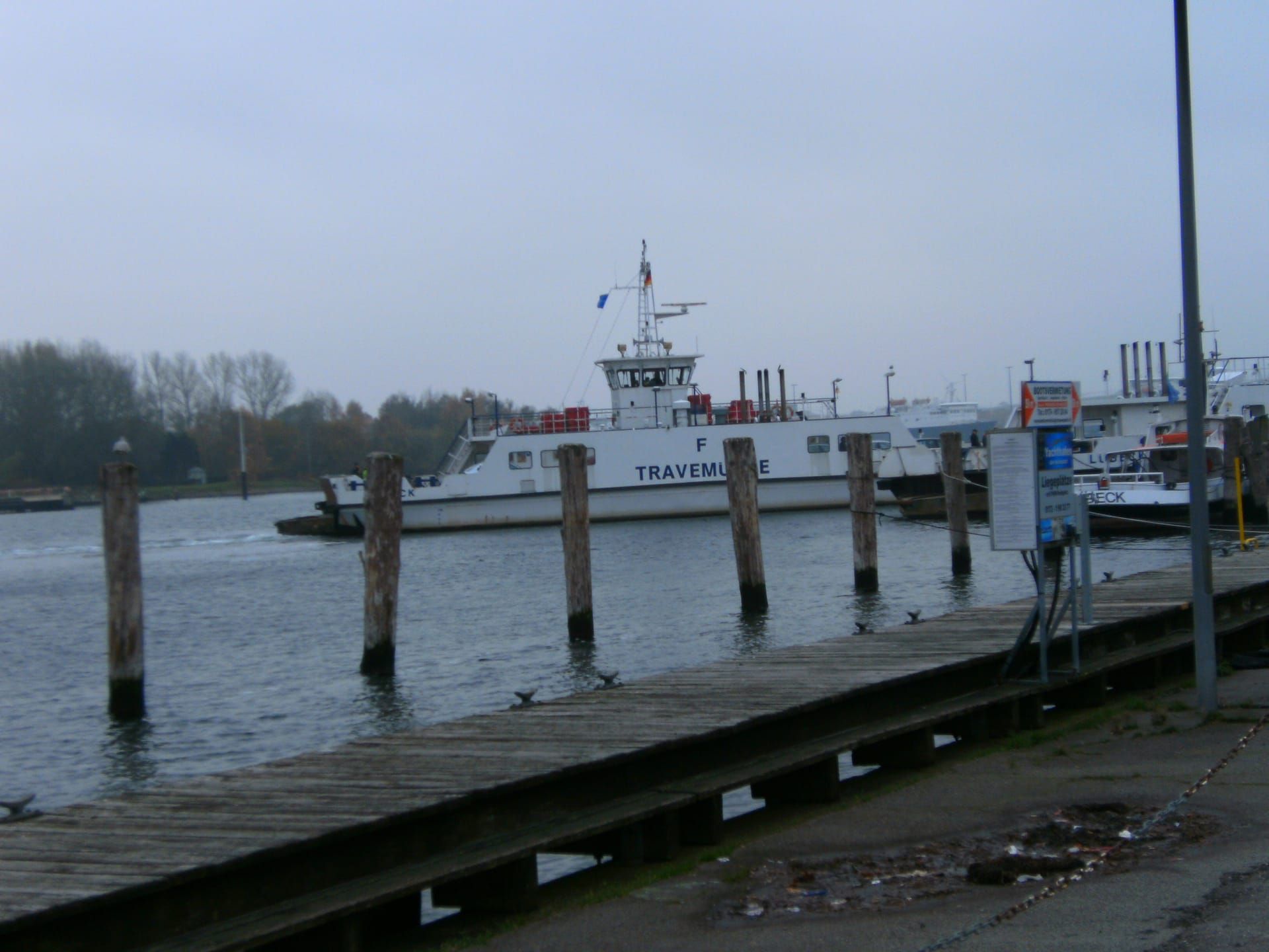
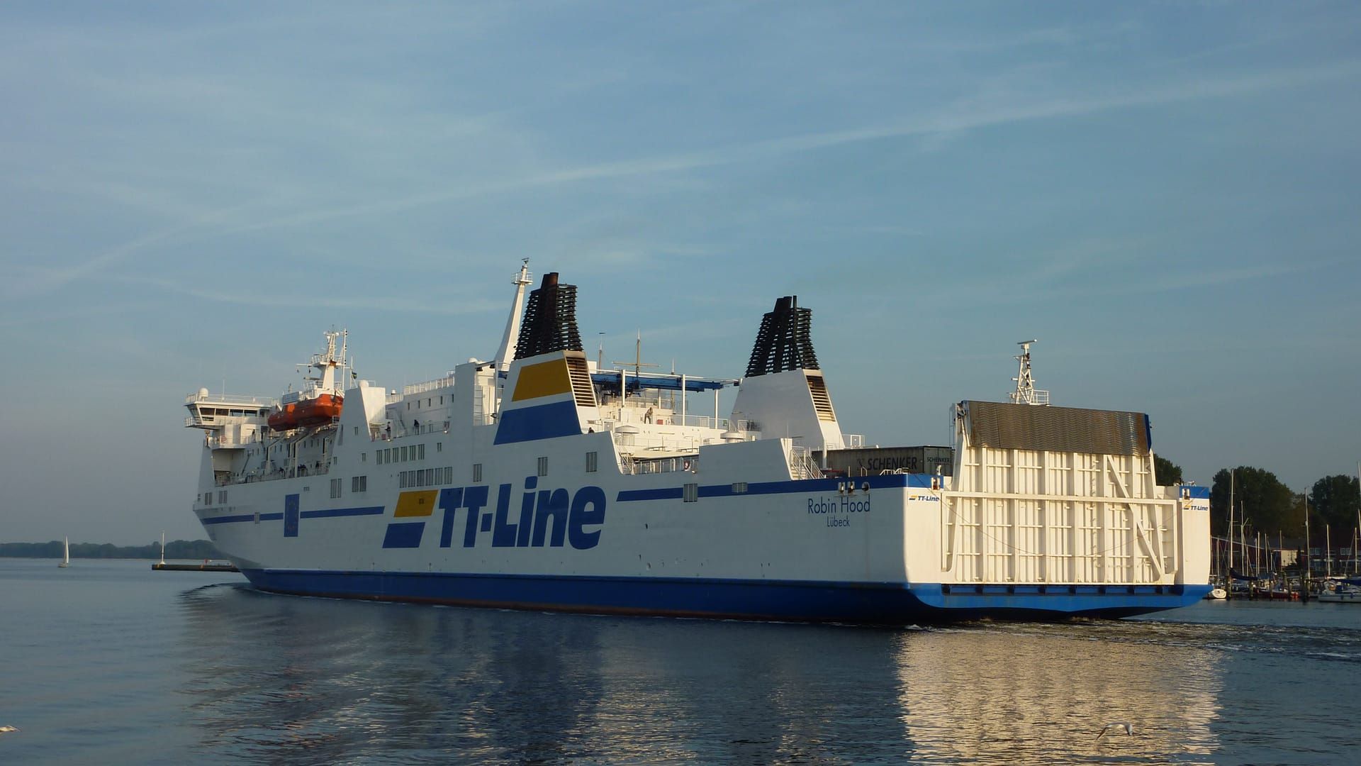
The big ferries sail right through the town, cruise ships moor along the promenade, and the four-masted barque Passat lies as a museum ship on the Priwall – ship spotting is everyday life in Travemünde. The live map shows what is currently moving on the Trave and in the bay.
Right now
- How long will it stay light? until 18:26, golden hour from 17:38calculated for Travemünde (SunCalc)
- Where can I see the sunset today? 18:26 in the west – Priwall · Trave shore, Priwall promenade by the Pötenitz lagoon; back on the passenger ferry until 22:20, then on the car ferrycalculated for Travemünde (SunCalc); SWHL timetable, as of 18 Jul 2026
- Which lights are coming on now? the approach lights – main light on the Maritim (Fl 4 s) and pier light on the north mole (Oc 4 s)OpenSeaMap (ODbL), as of 18 Jul 2026
Live map: ships off Travemünde
The best places
- Nordermole and promenade: the ferries pass within a few metres – the classic spot.
- Priwall side: a calmer view of arriving ships, with the Passat at your back.
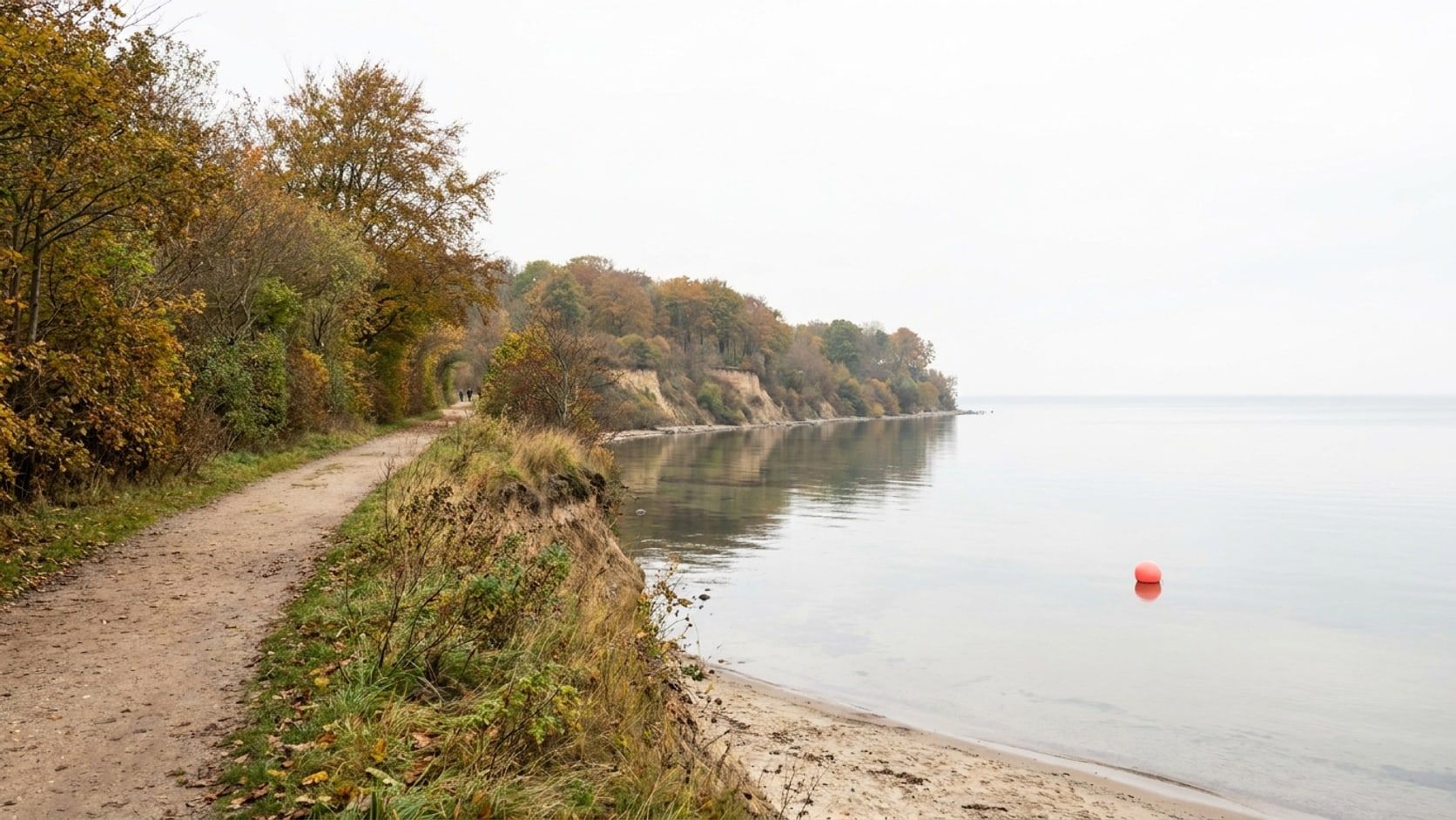
- Brodten cliffs: an elevated view for ships further out in the bay.
Cruise calls 2026
No further call is currently confirmed – new dates appear here as soon as they are fixed (curated with source and verification date).
The harbours of Travemünde
Travemünde is not one harbour but several – from the big ferry terminal to the marina. The overview, from the estuary upriver:
-
Skandinavienkai
The ferry port: the big ferries to Sweden and Finland leave from here – with its own page incl. route overview.
To the harbour page → -
Ostpreußenkai
The berth right on the promenade where the cruise ships moor – with the next calls.
To the harbour page → -
Fishing harbour at Baggersand
Cutters, nets and boat sheds away from the bustle – the quietest of Travemünde’s harbours, right by the sand sculptures.
To the harbour page → -
Passat harbour (Priwall)
The marina at the museum ship: leisure boats and visiting yachts right under the Passat’s masts, facing the Vorderreihe.
To the harbour page → -
Marina Baltica
The yacht harbour on Travemünder Landstraße in the town’s south-west (not on the Priwall) – berths and water sports towards the Pötenitzer Wiek.
To the harbour page →
More by the water: the Priwall with the Passat · get on the water – boat rental and harbour tours · what a four-masted barque actually is.
Frequently asked questions
Which ferries run from Travemünde to Scandinavia?
The large ferries to Sweden (incl. Trelleborg) and Finland leave from the Skandinavienkai. Timetables and booking are handled by the respective operator; the Skandinavienkai harbour page gives an overview.
Where is the best place to watch ships in Travemünde?
Closest is the Nordermole and the promenade, where the ferries pass within a few metres. The Priwall side is calmer, and the Brodten cliffs offer an elevated view.
Do cruise ships call at Travemünde?
Yes, but rarely. Cruise ships moor at the Ostpreußenkai right on the promenade; confirmed calls are listed above on this page.
Can I see live which ships are around?
Yes – the live map on this page shows current ship positions on the Trave and in the Bay of Lübeck after a click.
What is the Passat in Travemünde?
The Passat is a four-masted barque and one of the last surviving cargo sailing ships in the world. She lies as a museum ship at the Passat harbour on the Priwall side and is easy to see from the Vorderreihe.
Is there a sea-rescue station in Travemünde?
Yes – the DGzRS is stationed in Travemünde, with the rescue boat “Erich Koschubs”. More on the sea-rescue page.